About FleetSafe
Founded in 2021, FleetSafe has been developing automotive grade technologies to make roads more safer than ever before.
Our products and
services include the following:
- Predictive Analytics Using AI, ML and IoT.
- Advanced Driving Assistance Systems (ADAS).
- High Precision GNSS Module.
Products
Check our Services
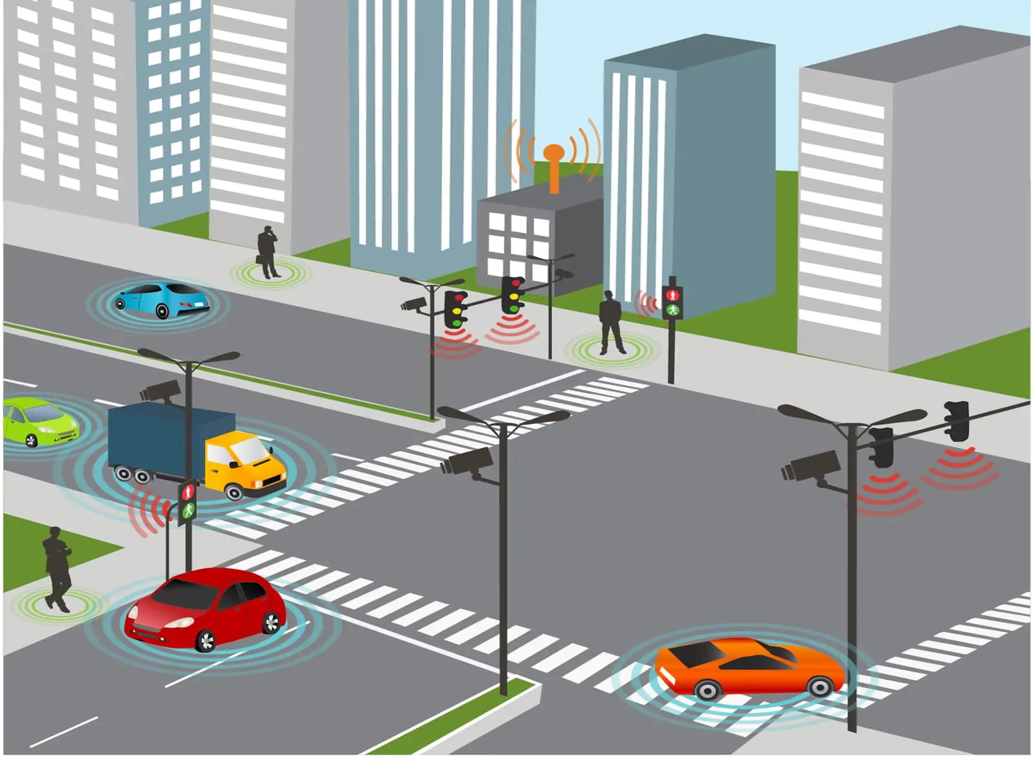
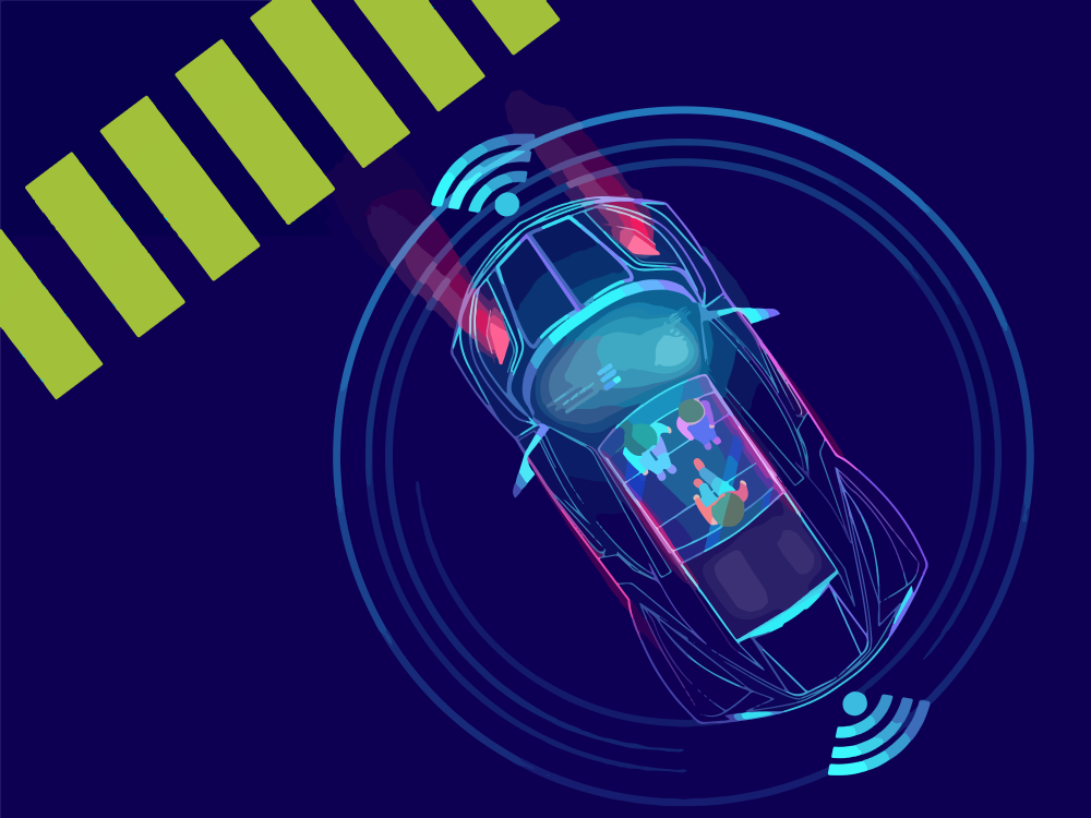
Vehicle to Everything (V2X) is a communication system that supports the transfer of information from a vehicle to moving parts of the traffic system that may affect the vehicle.
The main purpose of V2X technology is to improve road safety, energy savings, and traffic efficiency own the roads. By sharing information, such as speed, with other entities around the vehicle, the technology improves the driver’s awareness of potential dangers and helps reduce the severity of injuries, road accident fatalities, and collision with other vehicles.The technology also enhances traffic efficiency by warning drivers of upcoming traffic, suggesting alternative routes to avoid traffic and identifying available parking spaces.
4D radar is a technology that uses echolocation and a concept called time-of-flight measurement to map objects in a 3D environment.
To map the environment around the vehicle in high-resolution, a 4D imaging radar uses a Multiple Input Multiple Output (MIMO) antenna array. This can include dozens of antennas that transmit signals to targets in the device's surrounding environment and then receive the signals as they bounce off targets. The data that is received by the antennas is then used to generate a point cloud that represents the area surrounding the array. A large array enables accurate detection of both static and dynamic objects simultaneously in high detail. It can also capture doppler shifts in the environment and use them to indicate the direction an object is moving.
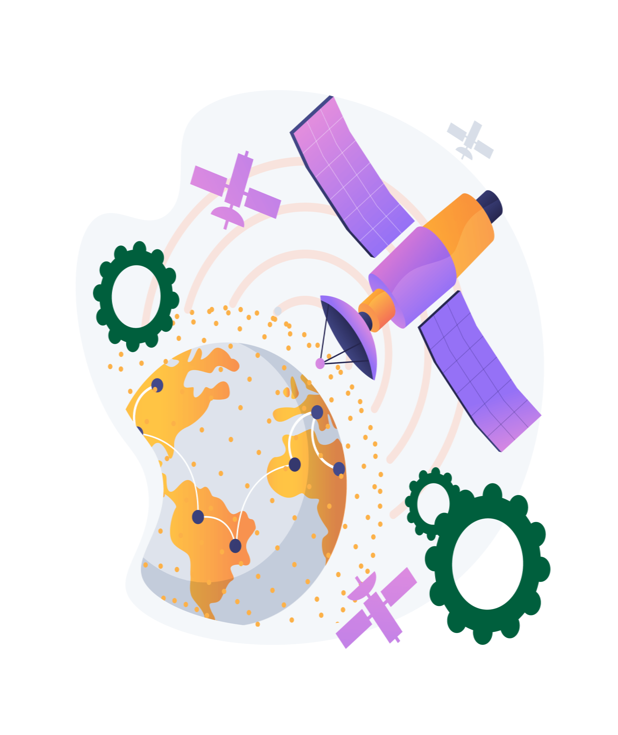
High precision positioning can be achieved by combining Global Navigation Satellite Systems (GNSS), such as GPS, GLONASS, Galileo and BeiDou, with Real Time Kinematics (RTK) technology.
RTK is a technique that uses the receiver’s measurements of the phase of the satellite signal’s carrier wave. These measurements combined with corrections from a local or virtual base station allow the receiver to solve carrier ambiguities and provide centimeter level accurate position information to the end user, typically a moving device referred to as the rover. The demand for scalable high precision technology is growing rapidly, as evident in the automotive world with next generation HUD and V2X applications, and in robotics with applications such as UAVs and robotic lawnmowers. Our platform delivers the next level of scalable GNSS high precision technology, which will pave the path for new navigation applications such as augmented reality and unmanned vehicle navigation.
Contact
Contact Us
Our Address
SCF 60, FF, Phase 2, Mohali, Punjab - 160055
Email Us
info[at]fleetsafeindia[dot]com
Call Us
+91 9878711152